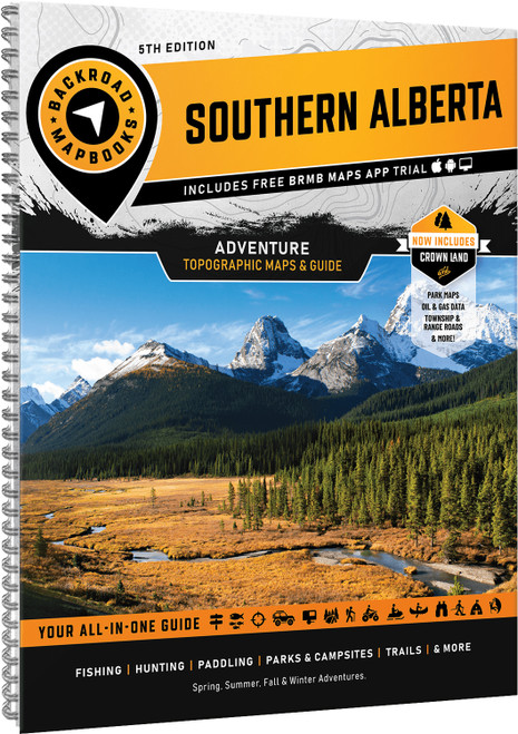
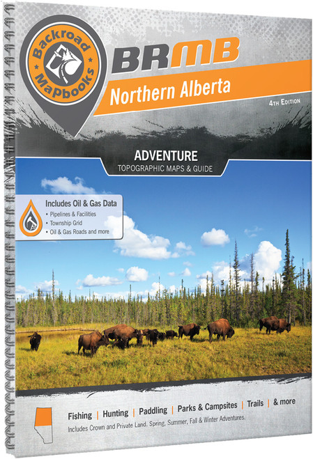
Explore the diverse landscapes of Central Alberta with a guide to one of the province's premier outdoor recreation regions. Covering everything from the Rocky Mountain parks to prairie landscapes and the lake country around Lac La Biche, this mapbook helps you discover top destinations for camping, hiking, fishing, paddling, ATVing, hunting, and snowmobiling.
- Updated 6th Edition adds Crown and private land boundaries, labelled fish species, Municipal District areas, Grazing Reserves, expanded oil and gas information, and enhanced resource road coverage
- 69 detailed topographic maps feature highways, rural roads, forestry and resource roads, parks, water features, seismic lines, and recreation areas across Central Alberta
- Industry leading resource mapping includes gas plants, refineries, work camps, mines, well disposal sites, weight scales, and other key facilities
- Fishing and trail charts provide stocked fish information along with detailed guides for major hiking areas
- Easy to use index organizes map, adventure, and resource information with page references, map coordinates, distance charts, and an LSD Grid for locating resource facilities
- Service directory highlights accommodations, outfitters, guided tours, supplies, and hunting and fishing services throughout Central Alberta