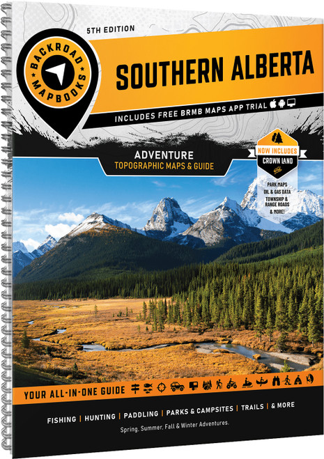
Discover Southern Alberta’s varied landscapes from the imposing Rocky Mountains to the endless fields of canola. Whether you're hiking alpine trails, camping in the mountains, casting a line in clear rivers, or exploring backroads and ATV routes, this diverse region offers endless opportunities to get outside and discover new landscapes.
- Updated edition adds Crown Forest Management Areas, Public Land Use Zones, labelled fish species, bonus maps for Banff, Peter Lougheed, and Waterton parks, plus an overview map of Glacier National Park
- 59 detailed topographic maps at 1:225,000 scale feature highways, backroads, trails, recreation sites, amenities, and points of interest across Southern Alberta
- Expanded outdoor resources include fish stocking charts, trail charts for major parks and the Trans Canada Trail, plus a dedicated Backcountry Huts section
- Comprehensive adventure guides provide expert information for hiking, camping, paddling, fishing, hunting, ATVing, wildlife viewing, and more
- Service directory highlights accommodations, outfitters, tours, and essential services throughout the region
- Easy to use index and trip planning tools include map references, adventure listings, page numbers, map coordinates, distance charts, and important contacts for efficient navigation