


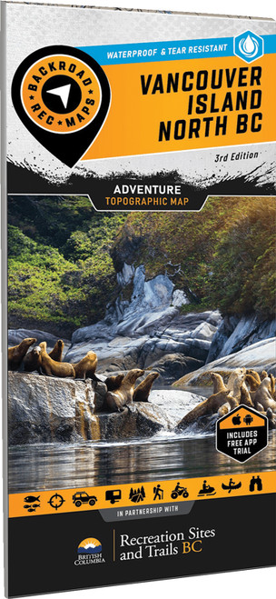
With just one major roadway reaching the northern extents of Vancouver Island, this is a place where nature rules and stress melts away. A secluded sandy beach or isolated campsite is never too far away, and often your chances of seeing a whale swimming offshore are better than spotting another human. To make navigating this sparsely populated region easier, the BRMB team have worked tirelessly to create the most comprehensive, detailed and easy-to-use map for Northern Vancouver Island you will find anywhere.
- 2 Maps in 1 oversized format (86 × 117 cm / 34 × 46.25 in)
- Created in partnership with Recreation Sites and Trails BC for unmatched local expertise
- Unparalleled road coverage including highways, city roads, logging and industry roads
- Multi-use trails for hikers, mountain bikers, horseback riders, cross-country skiers and snowshoers
- Paddling routes for canoers and kayakers
- Fishing information with updated fish species
- Industry leading cartographic detail and state of the art topographic relief and shading
- Waterproof and tear-resistant construction built to withstand rain, mud, snow, and rough handling
- Industry leading cartographic detail and state of the art topographic relief and shading
- GPS-Compatible: Seamlessly integrates with GPS devices and mobile apps for reliable navigation


